
Patutahi topographic map
Interactive map
Click on the map to display elevation.
About this map
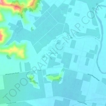
Name: Patutahi topographic map, elevation, terrain.
Location: Patutahi, Gisborne, Nouvelle-Zélande (-38.64568 177.86672 -38.60568 177.90672)
Average elevation: 23 m
Minimum elevation: 6 m
Maximum elevation: 163 m