Geolocate

Binnaguri topographic map

Click on the map to display elevation.

About this map
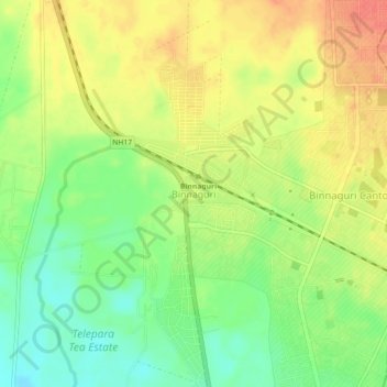
Name: Binnaguri topographic map, elevation, terrain.

Location: Binnaguri, Dhupguri, Jalpaiguri District, West Bengal, India (26.72518 89.03313 26.76518 89.07313)

Average elevation: 129 m

Minimum elevation: 102 m

Maximum elevation: 154 m

Gear up for your next adventure:

❄️Traction Ice Cleats - Slip-on spikes for icy trails and winter hiking
🧥Packable Rain Jacket - Breathable waterproof layer for unpredictable weather
🥾Waterproof Hiking Boots - Essential footwear for rugged terrain and wet Canadian trails
🏕️Camping Hammock - Integrated protection for sleeping between trees
🧢Outdoor Visor - Breathable visor for sunny hikes

As an Amazon Associate, this site earns from qualifying purchases at no extra cost to you.