
La Chapelle Saint-Nicolas topographic map
Interactive map
Click on the map to display elevation.
About this map
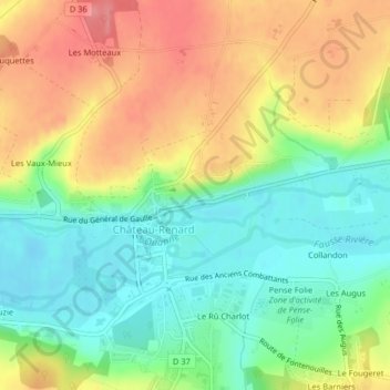
Name: La Chapelle Saint-Nicolas topographic map, elevation, terrain.
Average elevation: 146 m
Minimum elevation: 107 m
Maximum elevation: 193 m