
Thank you for supporting this site ❤️
Make a donation
Make a donation
Gear up for your next adventure:
As an Amazon Associate, this site earns from qualifying purchases at no extra cost to you.
Mörfelden-Walldorf topographic map
Click on the map to display elevation.
Thank you for supporting this site ❤️
Make a donation
Make a donation
Gear up for your next adventure:
As an Amazon Associate, this site earns from qualifying purchases at no extra cost to you.
About this map
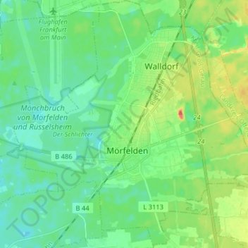
Name: Mörfelden-Walldorf topographic map, elevation, terrain.
Location: Mörfelden-Walldorf, Kreis Groß-Gerau, Hesse, 64546, Germany (49.94324 8.50382 50.02663 8.63031)
Average elevation: 102 m
Minimum elevation: 87 m
Maximum elevation: 139 m
Thank you for supporting this site ❤️
Make a donation
Make a donation
Gear up for your next adventure:
As an Amazon Associate, this site earns from qualifying purchases at no extra cost to you.