

Negele topographic map
Click on the map to display elevation.
Negele
Negele Borana (Amharic: ነጌሌ ቦረና) is a town and separate woreda in southern Ethiopia. Located on the road connecting Addis Ababa to Moyale, it is the capital of the newly-established East Borana Zone of the Oromia Region. Negelle Borana is the largest city traditionally inhabited by the Borana Oromo. It has a latitude and longitude of 5°20′N 39°35′E / 5.333°N 39.583°E / 5.333; 39.583 with an altitude of about 1,475 meters above sea level. It is surrounded by Liben woreda.
About this map
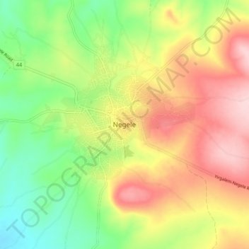
Name: Negele topographic map, elevation, terrain.
Location: Negele, Liben, Guji, Oromia Region, Ethiopia (5.29282 39.54066 5.37282 39.62066)
Average elevation: 1,494 m
Minimum elevation: 1,384 m
Maximum elevation: 1,618 m