
Aberdyfi topographic map
Interactive map
Click on the map to display elevation.
About this map
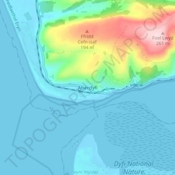
Name: Aberdyfi topographic map, elevation, terrain.
Location: Aberdyfi, Gwynedd, Gales, LL35 0NQ, Gran Bretaña (52.52512 -4.07336 52.56512 -4.03336)
Average elevation: 46 m
Minimum elevation: -2 m
Maximum elevation: 257 m