Geolocate

Bribati topographic map

Click on the map to display elevation.

About this map

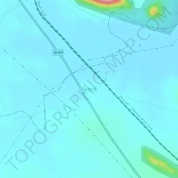
Name: Bribati topographic map, elevation, terrain.

Location: Bribati, Dharmasala, Jajapur, Odisha, 755023, India (20.74576 86.06580 20.78576 86.10580)

Average elevation: 25 m

Minimum elevation: 13 m

Maximum elevation: 168 m

Gear up for your next adventure:

🥾Approach Shoes - Shoes designed for climbing approaches and rugged trails
🥾Trail Hiking Shoes - Durable shoes designed for rugged trails
🧴Waterproofing Spray - Restore the DWR coating on jackets and tents
🪜Heavy Duty Carabiners - Multi-use clips for securing gear to your backpack
🛁Quick-Dry Microfiber Towel - Space-saving towel that dries rapidly on the move

As an Amazon Associate, this site earns from qualifying purchases at no extra cost to you.