
Rejoso topographic map
Interactive map
Click on the map to display elevation.
About this map
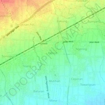
Name: Rejoso topographic map, elevation, terrain.
Location: Rejoso, Klaten, Java central, Jawa, 57452, Indonésie (-7.76593 110.53258 -7.72593 110.57258)
Average elevation: 147 m
Minimum elevation: 125 m
Maximum elevation: 183 m