Geolocate

Seit Lake topographic map

Click on the map to display elevation.

About this map

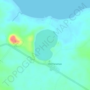
Name: Seit Lake topographic map, elevation, terrain.

Location: Seit Lake, Old Panamao, Sulu, Bangsamoro, Philippines (5.98278 121.20786 5.99226 121.21492)

Average elevation: 14 m

Minimum elevation: 0 m

Maximum elevation: 78 m

Gear up for your next adventure:

🔥Emergency Fire Starter - Reliable ignition source for all weather conditions
🚲Heavy Duty Bike Lock - Secure your bike at the trailhead or during stops
🥾Durable Hiking Shoes - Long-lasting shoes for frequent hiking
🔨Vehicle Emergency Tool - Safety tool for remote road trips to trailheads
🛌Insulated Sleeping Pad - Critical thermal barrier between you and the cold ground

As an Amazon Associate, this site earns from qualifying purchases at no extra cost to you.