
Althegnenberg topographic map
Click on the map to display elevation.
About this map
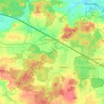
Name: Althegnenberg topographic map, elevation, terrain.
Average elevation: 544 m
Minimum elevation: 509 m
Maximum elevation: 576 m
Other topographic maps
Click on a map to view its topography, its elevation and its terrain.
Pleitmannswang
Deutschland > Bayern > Landkreis Fürstenfeldbruck > Türkenfeld
Average elevation: 568 m
Weiherhaus
Deutschland > Bayern > Landkreis Fürstenfeldbruck > Fürstenfeldbruck > Gelbenholzen
Average elevation: 543 m