Geolocate

Urbanette topographic map

Click on the map to display elevation.

About this map

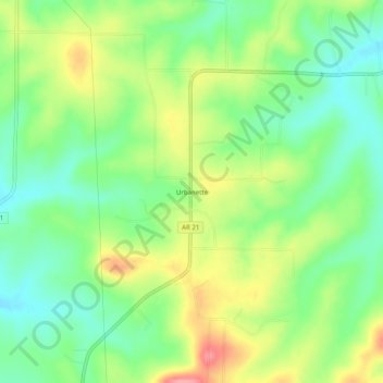
Name: Urbanette topographic map, elevation, terrain.

Location: Urbanette, Carroll County, Arkansas, United States (36.39979 -93.55352 36.43979 -93.51352)

Average elevation: 382 m

Minimum elevation: 342 m

Maximum elevation: 442 m

Other topographic maps

Click on a map to view its topography, its elevation and its terrain.

Blue Eye, AR

United States > Arkansas > Carroll County

Average elevation: 381 m

Gear up for your next adventure:

🥾Light Hiking Boots - Lightweight and comfortable boots for day hikes
🛶Waterproof Dry Bags - Keep electronics and clothes dry during river crossings
💧Filtered Water Bottle - Safe drinking water on the go
🪑Insulated Seat Pad - Protect your seat from cold rocks and wet logs
🥾Trail Running Boots - Durable shoes designed for trail running

As an Amazon Associate, this site earns from qualifying purchases at no extra cost to you.