Geolocate

Isiolo topographic map

Click on the map to display elevation.

About this map

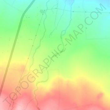
Name: Isiolo topographic map, elevation, terrain.

Location: Isiolo, Buuri, Meru County, Eastern, Kenya (0.24085 37.54447 0.24179 37.54564)

Average elevation: 1,491 m

Minimum elevation: 1,411 m

Maximum elevation: 1,570 m

Other topographic maps

Click on a map to view its topography, its elevation and its terrain.

Timau

Kenya > Meru County > Buuri > Timau ward

Average elevation: 2,232 m

Maritati Township

Kenya > Meru County > Buuri

Average elevation: 2,512 m

Gear up for your next adventure:

🧥Packable Rain Jacket - Breathable waterproof layer for unpredictable weather
🧰Emergency Multi-Tool - Compact multi-tool for outdoor survival
🚲MTB Frame Bag - Carry tools and maps directly on your bicycle frame
🧥Softshell Hiking Jacket - The perfect balance of wind protection and breathability
💡Compact LED Flashlight - Powerful and portable flashlight for outdoor use

As an Amazon Associate, this site earns from qualifying purchases at no extra cost to you.