
Ness Lake topographic map
Interactive map
Click on the map to display elevation.
About this map
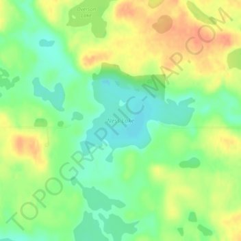
Name: Ness Lake topographic map, elevation, terrain.
Location: Ness Lake, Clay County, Minnesota, United States (46.80093 -96.20127 46.81029 -96.18234)
Average elevation: 423 m
Minimum elevation: 403 m
Maximum elevation: 445 m