
Stump Lake topographic map
Click on the map to display elevation.
About this map
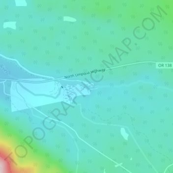
Name: Stump Lake topographic map, elevation, terrain.
Location: Stump Lake, Douglas County, Oregon, United States (43.24443 -122.28201 43.24664 -122.27300)
Average elevation: 1,234 m
Minimum elevation: 1,162 m
Maximum elevation: 1,611 m