Geolocate

Maiden topographic map

Click on the map to display elevation.

About this map

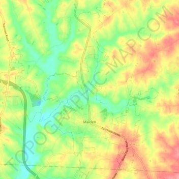
Name: Maiden topographic map, elevation, terrain.

Location: Maiden, Catawba County, North Carolina, United States (35.55271 -81.26239 35.62757 -81.17838)

Average elevation: 273 m

Minimum elevation: 233 m

Maximum elevation: 315 m

Gear up for your next adventure:

🥾Trail Running Shoes - Lightweight and durable shoes for trail running
🚲MTB Frame Bag - Carry tools and maps directly on your bicycle frame
🔦LED Headtorch - Bright and durable light for night activities
Backpacking Tent - Lightweight tent for long-distance hiking trips
🔭Outdoor Binoculars - Lightweight binoculars for birdwatching and hiking

As an Amazon Associate, this site earns from qualifying purchases at no extra cost to you.