Geolocate

Sagerton topographic map

Click on the map to display elevation.

About this map

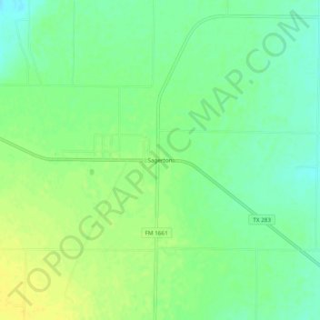
Name: Sagerton topographic map, elevation, terrain.

Location: Sagerton, Haskell County, Texas, 79548, United States (33.05705 -99.97565 33.09705 -99.93565)

Average elevation: 497 m

Minimum elevation: 486 m

Maximum elevation: 507 m

Gear up for your next adventure:

Camping Coffee Maker - Brew fresh coffee anywhere on the topographic map
🧦Outdoor Socks - Durable socks designed for hiking and outdoor sports
🚲Heavy Duty Bike Lock - Secure your bike at the trailhead or during stops
🩹Compact First Aid Kit - Pre-packed essentials for common trail injuries
🧢Sun Protection Cap - Breathable cap to protect from sun exposure

As an Amazon Associate, this site earns from qualifying purchases at no extra cost to you.