
Hopewell topographic map
Interactive map
Click on the map to display elevation.
About this map
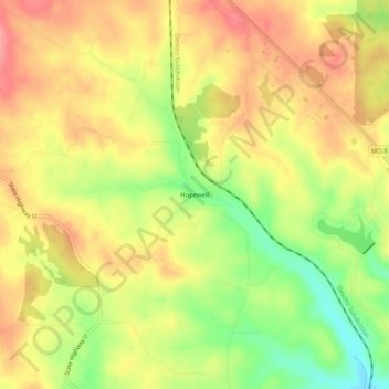
Name: Hopewell topographic map, elevation, terrain.
Location: Hopewell, Washington County, Missouri, États-Unis d'Amérique (37.86755 -90.72291 37.90755 -90.68291)
Average elevation: 288 m
Minimum elevation: 235 m
Maximum elevation: 326 m