
Thank you for supporting this site ❤️
Make a donation
Make a donation
Gear up for your next adventure:
As an Amazon Associate, this site earns from qualifying purchases at no extra cost to you.
Sonagiri topographic map
Click on the map to display elevation.
Thank you for supporting this site ❤️
Make a donation
Make a donation
Gear up for your next adventure:
As an Amazon Associate, this site earns from qualifying purchases at no extra cost to you.
About this map
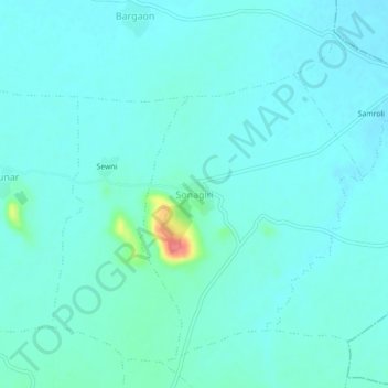
Name: Sonagiri topographic map, elevation, terrain.
Location: Sonagiri, Badoni Tahsil, Datia, Madhya Pradesh, India (25.70139 78.35918 25.74139 78.39918)
Average elevation: 216 m
Minimum elevation: 205 m
Maximum elevation: 277 m
Thank you for supporting this site ❤️
Make a donation
Make a donation
Gear up for your next adventure:
As an Amazon Associate, this site earns from qualifying purchases at no extra cost to you.