
Karakışla topographic map
Interactive map
Click on the map to display elevation.
About this map
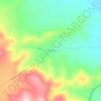
Name: Karakışla topographic map, elevation, terrain.
Location: Karakışla, Sultandağı, Afyonkarahisar, Ägäisregion, Türkei (38.72249 31.50147 38.76249 31.54147)
Average elevation: 1,213 m
Minimum elevation: 1,066 m
Maximum elevation: 1,441 m