Geolocate

Ciampetti topographic map

Click on the map to display elevation.

About this map

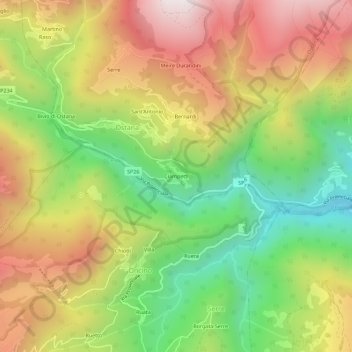
Name: Ciampetti topographic map, elevation, terrain.

Location: Ciampetti, Ostana, Cuneo, Piedmont, Italy (44.66696 7.17617 44.70696 7.21617)

Average elevation: 1,318 m

Minimum elevation: 775 m

Maximum elevation: 1,905 m

Gear up for your next adventure:

🥾Trail Hiking Shoes - Durable shoes designed for rugged trails
🥾Approach Shoes - Shoes designed for climbing approaches and rugged trails
🧢Sun Protection Cap - Breathable cap to protect from sun exposure
🧥Packable Rain Jacket - Breathable waterproof layer for unpredictable weather
🛶Kayak Accessories - Essential gear for safe and fun kayaking adventures

As an Amazon Associate, this site earns from qualifying purchases at no extra cost to you.