
Make a donation
Gear up for your next adventure:
As an Amazon Associate, this site earns from qualifying purchases at no extra cost to you.
Ballstädt topographic map
Click on the map to display elevation.
Make a donation
Gear up for your next adventure:
As an Amazon Associate, this site earns from qualifying purchases at no extra cost to you.
Ballstädt
Ballstädt liegt im Thüringer Becken, an den westlichen Ausläufern der Fahner Höhen, etwa in der Mitte zwischen Gotha, Erfurt und Bad Langensalza. Die Nachbarorte sind Hausen und Pfullendorf im Süden, Westhausen im Südwesten, Eschenbergen im Südosten, Aschara im Nordwesten und Burgtonna im Norden.
Make a donation
Gear up for your next adventure:
As an Amazon Associate, this site earns from qualifying purchases at no extra cost to you.
About this map
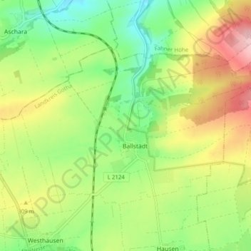
Name: Ballstädt topographic map, elevation, terrain.
Location: Ballstädt, Nessetal, Landkreis Gotha, Thüringen, Deutschland (51.02219 10.68126 51.05251 10.75806)
Average elevation: 287 m
Minimum elevation: 219 m
Maximum elevation: 380 m
Make a donation
Gear up for your next adventure:
As an Amazon Associate, this site earns from qualifying purchases at no extra cost to you.