Geolocate

Geneva topographic map

Click on the map to display elevation.

About this map

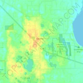
Name: Geneva topographic map, elevation, terrain.

Location: Geneva, Seminole County, Florida, 32732, United States (28.70283 -81.15146 28.77187 -81.08176)

Average elevation: 11 m

Minimum elevation: -3 m

Maximum elevation: 28 m

Gear up for your next adventure:

🧢Hiking Hat - Sun-protective and breathable hats for long treks
🔦LED Headlamp - Hands-free lighting for early morning starts or late finishes
🕶️Polarized Sunglasses - Protect your eyes with durable polarized lenses
📷Outdoor Action Camera - Capture high-elevation views and rugged adventures
🛏️Sleeping Bag - Warm and compact sleeping bags for outdoor camping

As an Amazon Associate, this site earns from qualifying purchases at no extra cost to you.