
Sankt Peter topographic map
Interactive map
Click on the map to display elevation.
About this map
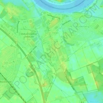
Name: Sankt Peter topographic map, elevation, terrain.
Average elevation: 41 m
Minimum elevation: 32 m
Maximum elevation: 50 m
Other topographic maps
Click on a map to view its topography, its elevation and its terrain.
Wahler Berg
Deutschland > Nordrhein-Westfalen > Rhein-Kreis Neuss > Dormagen
Wahler Berg, Dormagen, Rhein-Kreis Neuss, Nordrhein-Westfalen, 41541, Deutschland
Average elevation: 42 m
Zons
Deutschland > Nordrhein-Westfalen > Rhein-Kreis Neuss > Dormagen
Zons, Dormagen, Rhein-Kreis Neuss, Nordrhein-Westfalen, 41541, Deutschland
Average elevation: 40 m
Nievenheim
Deutschland > Nordrhein-Westfalen > Rhein-Kreis Neuss > Dormagen
Nievenheim, Dormagen, Rhein-Kreis Neuss, Nordrhein-Westfalen, 41542, Deutschland
Average elevation: 43 m