
Kóny topographic map
Interactive map
Click on the map to display elevation.
About this map
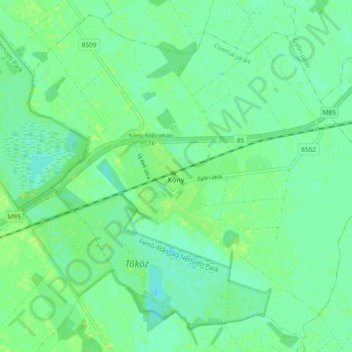
Name: Kóny topographic map, elevation, terrain.
Average elevation: 114 m
Minimum elevation: 108 m
Maximum elevation: 119 m
Other topographic maps
Click on a map to view its topography, its elevation and its terrain.
Heiligenstein
Ungarn > Komitat Győr-Moson-Sopron
Heiligenstein, Kreis Ödenburg, Komitat Győr-Moson-Sopron, Westtransdanubien, Transdanubien, 9437, Ungarn
Average elevation: 127 m
Raab
Ungarn > Komitat Győr-Moson-Sopron
Raab, Győri járás, Komitat Győr-Moson-Sopron, Westtransdanubien, Transdanubien, Ungarn
Average elevation: 120 m
Sankt Niklaus am Neusiedlersee
Ungarn > Komitat Győr-Moson-Sopron > Sankt Niklaus am Neusiedlersee
Sankt Niklaus am Neusiedlersee, Kreis Ödenburg, Komitat Győr-Moson-Sopron, Westtransdanubien, Transdanubien, 9444, Ungarn
Average elevation: 143 m
Frauendorf
Ungarn > Komitat Győr-Moson-Sopron
Frauendorf, Mosonmagyaróvári járás, Komitat Győr-Moson-Sopron, Westtransdanubien, Transdanubien, 9225, Ungarn
Average elevation: 124 m
St. Johann
Ungarn > Komitat Győr-Moson-Sopron
St. Johann, Mosonmagyaróvári járás, Komitat Győr-Moson-Sopron, Westtransdanubien, Transdanubien, Ungarn
Average elevation: 117 m