Geolocate

Gambote topographic map

Click on the map to display elevation.

About this map

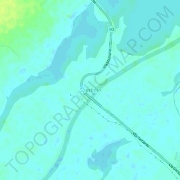
Name: Gambote topographic map, elevation, terrain.

Location: Gambote, Arjona, Dique, Bolívar, RAP Caribe, Colombia (10.14311 -75.31881 10.18311 -75.27881)

Average elevation: 4 m

Minimum elevation: -2 m

Maximum elevation: 16 m

Gear up for your next adventure:

🔦LED Flashlight - Powerful and long-lasting flashlight for camping and emergencies
🧥Ultralight Puffy Jacket - Maximum warmth that packs down to the size of an orange
🥾Trekking Poles - Adjustable trekking poles to reduce knee stress and improve stability
🥾Light Trekking Boots - Supportive boots for multi-day treks
💡LED Camping Lantern - Illuminate your campsite with long-lasting lanterns

As an Amazon Associate, this site earns from qualifying purchases at no extra cost to you.