Geolocate

El Cometa topographic map

Click on the map to display elevation.

About this map

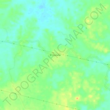
Name: El Cometa topographic map, elevation, terrain.

Location: El Cometa, Hidalgotitlán, Veracruz, Mexico (17.53849 -94.52196 17.57849 -94.48196)

Average elevation: 27 m

Minimum elevation: 15 m

Maximum elevation: 44 m

Gear up for your next adventure:

🚲MTB Frame Bag - Carry tools and maps directly on your bicycle frame
🧢Hiking Hat - Sun-protective and breathable hats for long treks
🧥Thermal Fleece Jacket - Versatile insulation for changing mountain temperatures
👟Trail Running Shoes - Agile footwear for fast-paced topographic exploration
🧭GPS Tracker - Track your location in remote areas safely

As an Amazon Associate, this site earns from qualifying purchases at no extra cost to you.