Geolocate

Oliktok Point topographic map

Click on the map to display elevation.

About this map

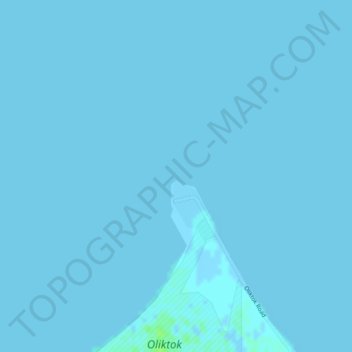
Name: Oliktok Point topographic map, elevation, terrain.

Location: Oliktok Point, North Slope, Alaska, United States (70.51297 -149.87064 70.51307 -149.87054)

Average elevation: 0 m

Minimum elevation: -2 m

Maximum elevation: 7 m

Other topographic maps

Click on a map to view its topography, its elevation and its terrain.

Thunder Creek

United States > Alaska > North Slope

Average elevation: 731 m

Gear up for your next adventure:

🧥Fleece Jacket - Warm and lightweight jacket for layering
Camping Groundsheet - Protect your tent from moisture and dirt
🥾Waterproof Hiking Shoes - Durable shoes for wet and rugged trails
🔭Outdoor Binoculars - Lightweight binoculars for birdwatching and hiking
🧭Orienteering Kit - Tools for map reading and navigation in the wild

As an Amazon Associate, this site earns from qualifying purchases at no extra cost to you.