Geolocate

Rajgir topographic map

Click on the map to display elevation.

About this map

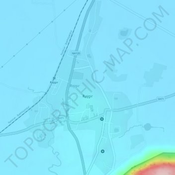
Name: Rajgir topographic map, elevation, terrain.

Location: Rajgir, Nalanda, Bihar, India (25.01777 85.40977 25.04467 85.42847)

Average elevation: 73 m

Minimum elevation: 62 m

Maximum elevation: 317 m

Gear up for your next adventure:

Backpacking Tent - Lightweight tent for long-distance hiking trips
🎒Hiking Daypack - Lightweight and durable backpacks for day trips and excursions
🕯️Camping Lantern - Illuminates your entire campsite with high-efficiency LEDs
🧦Hiking Liner Socks - Thin base layer to prevent friction and blisters
🚑Survival Whistle - Signal for help across long distances in mountains

As an Amazon Associate, this site earns from qualifying purchases at no extra cost to you.