
02 topographic map
Interactive map
Click on the map to display elevation.
About this map
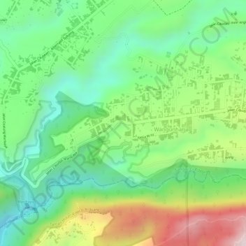
Name: 02 topographic map, elevation, terrain.
Location: 02, Wangunharja, Bandung Barat, Java occidental, Indonésie (-6.83217 107.66625 -6.81832 107.67059)
Average elevation: 1,197 m
Minimum elevation: 1,025 m
Maximum elevation: 1,463 m