
Kamperzeedijk-Oost topographic map
Interactive map
Click on the map to display elevation.
About this map
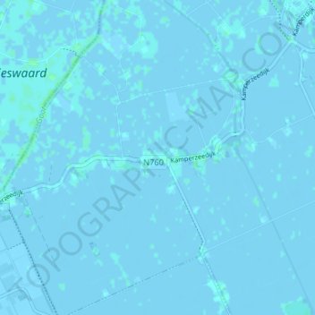
Name: Kamperzeedijk-Oost topographic map, elevation, terrain.
Location: Kamperzeedijk-Oost, Overijssel, Niederlande, 8281RB, Niederlande (52.57804 5.98357 52.61804 6.02357)
Average elevation: 0 m
Minimum elevation: -3 m
Maximum elevation: 4 m