
Kellys Cross topographic map
Click on the map to display elevation.
About this map
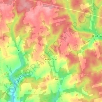
Name: Kellys Cross topographic map, elevation, terrain.
Location: Kellys Cross, Queens County, Prince Edward Island, Canada (46.24513 -63.47730 46.30508 -63.41705)
Average elevation: 81 m
Minimum elevation: 10 m
Maximum elevation: 130 m
Queens County trails, hiking, mountain biking, running and outdoor activities
Other topographic maps
Click on a map to view its topography, its elevation and its terrain.
French Village
Canada > Prince Edward Island > Queens County > Savage Harbour, Queen's County
Average elevation: 12 m