
Thank you for supporting this site ❤️
Make a donation
Make a donation
Gear up for your next adventure:
As an Amazon Associate, this site earns from qualifying purchases at no extra cost to you.
St-Denis topographic map
Click on the map to display elevation.
Thank you for supporting this site ❤️
Make a donation
Make a donation
Gear up for your next adventure:
As an Amazon Associate, this site earns from qualifying purchases at no extra cost to you.
About this map
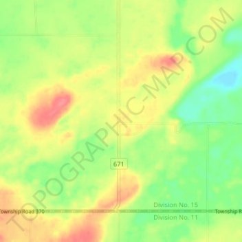
Name: St-Denis topographic map, elevation, terrain.
Location: St-Denis, Grant No. 372, Saskatchewan, Canada (52.13871 -106.11861 52.17871 -106.07861)
Average elevation: 553 m
Minimum elevation: 521 m
Maximum elevation: 586 m
Thank you for supporting this site ❤️
Make a donation
Make a donation
Gear up for your next adventure:
As an Amazon Associate, this site earns from qualifying purchases at no extra cost to you.