Geolocate

Haripar topographic map

Click on the map to display elevation.

About this map

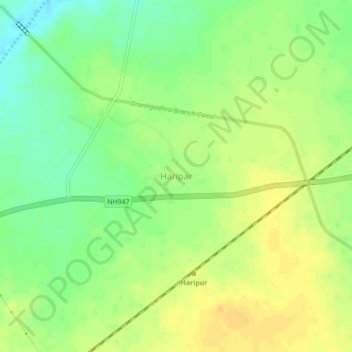
Name: Haripar topographic map, elevation, terrain.

Location: Haripar, Dhrangadhra Taluka, Surendranagar District, Gujarat, 363320, India (22.98309 71.49814 23.02309 71.53814)

Average elevation: 52 m

Minimum elevation: 36 m

Maximum elevation: 63 m

Other topographic maps

Click on a map to view its topography, its elevation and its terrain.

Dhrangadhra

India > Gujarat > Dhrangadhra Taluka

Dhrangadhra is located at 22°59′N 71°28′E / 22.98°N 71.47°E / 22.98; 71.47. It has an average elevation of 64 metres (209 feet).

Average elevation: 52 m

Gear up for your next adventure:

🛌Insulated Sleeping Pad - Critical thermal barrier between you and the cold ground
Camping Groundsheet - Protect your tent from moisture and dirt
❄️Traction Ice Cleats - Slip-on spikes for icy trails and winter hiking
🩹Compact First Aid Kit - Pre-packed essentials for common trail injuries
🧴Bear Spray Holster - Quick-access carry for essential Canadian wilderness safety

As an Amazon Associate, this site earns from qualifying purchases at no extra cost to you.