Geolocate

Valbona topographic map

Click on the map to display elevation.

About this map
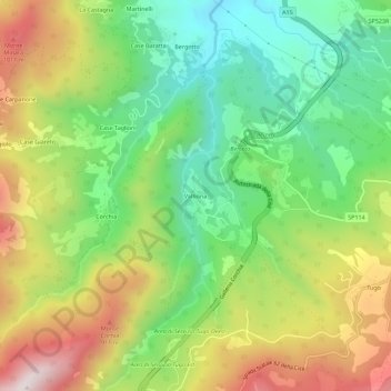
Name: Valbona topographic map, elevation, terrain.

Location: Valbona, Berceto, Parma, Emilia-Romagna, 43042, Italia (44.48205 9.92287 44.52205 9.96287)

Average elevation: 715 m

Minimum elevation: 424 m

Maximum elevation: 1,127 m

Gear up for your next adventure:

🥾Trekking Poles - Adjustable trekking poles to reduce knee stress and improve stability
🥾Trail Hiking Boots - Supportive boots for rough trails
🥾Approach Boots - Comfortable boots for hiking and climbing approaches
🧢Sun Protection Cap - Breathable cap to protect from sun exposure
🎒Hiking Backpack - Lightweight and ergonomic backpacks for day hikes or multi-day treks

As an Amazon Associate, this site earns from qualifying purchases at no extra cost to you.