

Yaremche topographic map
Click on the map to display elevation.
Yaremche
Yaremche (Ukrainian: Яремче, IPA: [jɐˈrɛmtʃe] ; Polish: Jaremcze or Jaremcza) is a town in Nadvirna Raion, Ivano-Frankivsk Oblast (province) of west Ukraine. The Town is located at the altitude of around 580 metres (1,900 ft) above mean sea level. Yaremche hosts the administration of Yaremche urban hromada, one of the hromadas of Ukraine. Population: 7,907 (2022 estimate).
About this map
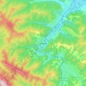
Name: Yaremche topographic map, elevation, terrain.
Average elevation: 819 m
Minimum elevation: 420 m
Maximum elevation: 1,659 m
Other topographic maps
Click on a map to view its topography, its elevation and its terrain.
