
Arp topographic map
Interactive map
Click on the map to display elevation.
About this map
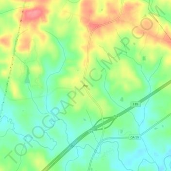
Name: Arp topographic map, elevation, terrain.
Location: Arp, Banks County, Georgia, 30521:30530, United States (34.28705 -83.43155 34.32705 -83.39155)
Average elevation: 228 m
Minimum elevation: 195 m
Maximum elevation: 276 m