
Turnhout topographic map
Interactive map
Click on the map to display elevation.
About this map
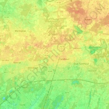
Name: Turnhout topographic map, elevation, terrain.
Location: Turnhout, Anvers, Flandre, Belgique (51.26240 4.88875 51.39546 4.98488)
Average elevation: 25 m
Minimum elevation: 10 m
Maximum elevation: 36 m