
Make a donation
Gear up for your next adventure:
As an Amazon Associate, this site earns from qualifying purchases at no extra cost to you.
Chugach Mountains topographic map
Click on the map to display elevation.
Make a donation
Gear up for your next adventure:
As an Amazon Associate, this site earns from qualifying purchases at no extra cost to you.
Chugach Mountains
The Chugach Mountains of southern Alaska are the northernmost of the several mountain ranges that make up the Pacific Coast Ranges of the western edge of North America. The range is about 250 miles (402 km) long and 60 miles (97 km) wide, and extends from the Knik and Turnagain Arms of the Cook Inlet on the west to Bering Glacier, Tana Glacier, and the Tana River on the east. It is bounded on the north by the Matanuska, Copper, and Chitina rivers. The highest point of the Chugach Mountains is Mount Marcus Baker, at 13,094 feet (3,991 m), but with an average elevation of 4,006 feet (1,221 m), most of its summits are not especially high. Even so, its position along the Gulf of Alaska ensures more snowfall in the Chugach than anywhere else in the world, an annual average of over 1500 cm (800 in).
Make a donation
Gear up for your next adventure:
As an Amazon Associate, this site earns from qualifying purchases at no extra cost to you.
About this map
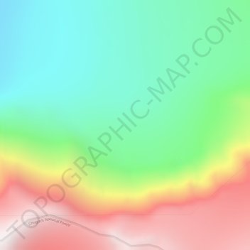
Name: Chugach Mountains topographic map, elevation, terrain.
Average elevation: 2,530 m
Minimum elevation: 1,995 m
Maximum elevation: 3,393 m
Make a donation
Gear up for your next adventure:
As an Amazon Associate, this site earns from qualifying purchases at no extra cost to you.
Other topographic maps
Click on a map to view its topography, its elevation and its terrain.