Geolocate

Moira topographic map

Click on the map to display elevation.

About this map

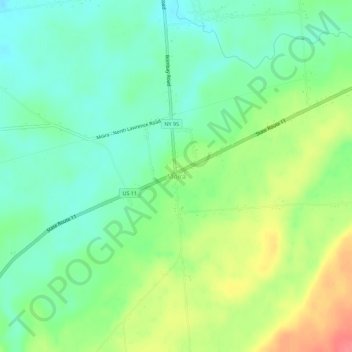
Name: Moira topographic map, elevation, terrain.

Location: Moira, Franklin County, New York, 12957, United States (44.79813 -74.57597 44.83813 -74.53597)

Average elevation: 125 m

Minimum elevation: 99 m

Maximum elevation: 169 m

Gear up for your next adventure:

Lightweight Camping Tent - Portable shelter optimized for Canadian backcountry camping
💡LED Camping Lantern - Illuminate your campsite with long-lasting lanterns
🧥Waterproof Hiking Jacket - Protect yourself from rain and wind while hiking
🔦UV Flashlight - Detect minerals or specific insects in the dark
🚑Survival Whistle - Signal for help across long distances in mountains

As an Amazon Associate, this site earns from qualifying purchases at no extra cost to you.