Geolocate

Coops Mound topographic map

Click on the map to display elevation.

About this map

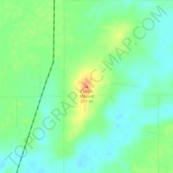
Name: Coops Mound topographic map, elevation, terrain.

Location: Coops Mound, Macoupin County, Illinois, 62511, United States (39.31722 -89.78403 39.31732 -89.78393)

Average elevation: 187 m

Minimum elevation: 173 m

Maximum elevation: 213 m

Gear up for your next adventure:

🥤Collapsible Travel Cup - Saves space and weight in your mess kit
🥽Outdoor Goggles - Protective eyewear for outdoor activities
🧴Outdoor Sunscreen - High SPF protection for high-altitude UV exposure
🧴First Aid Kit - Essential first aid supplies for outdoor emergencies
🌡️Emergency Mylar Blankets - Compact thermal protection for unexpected nights outdoors

As an Amazon Associate, this site earns from qualifying purchases at no extra cost to you.