Geolocate

Rudeni topographic map

Click on the map to display elevation.

About this map

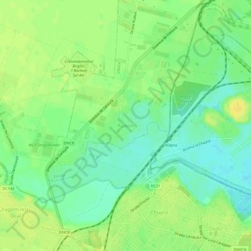
Name: Rudeni topographic map, elevation, terrain.

Location: Rudeni, Chitila, Ilfov, 077046, Romania (44.45262 25.95040 44.49262 25.99040)

Average elevation: 93 m

Minimum elevation: 81 m

Maximum elevation: 104 m

Gear up for your next adventure:

🔦LED Flashlight - Powerful and long-lasting flashlight for camping and emergencies
🧥Thermal Fleece Jacket - Versatile insulation for changing mountain temperatures
🛶Waterproof Dry Bags - Keep electronics and clothes dry during river crossings
🥾Mountain Hiking Shoes - Shoes with superior grip for mountainous terrain
🥾Durable Hiking Shoes - Long-lasting shoes for frequent hiking

As an Amazon Associate, this site earns from qualifying purchases at no extra cost to you.