Geolocate

Rasillo topographic map

Click on the map to display elevation.

About this map

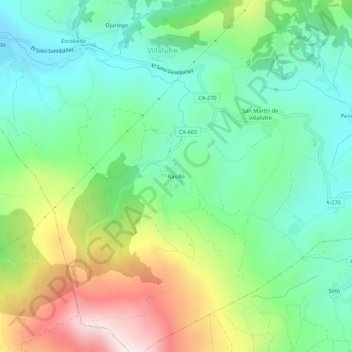
Name: Rasillo topographic map, elevation, terrain.

Location: Rasillo, Villafufre, Valles Pasiegos, Cantabria, 39638, España (43.23216 -3.91069 43.27216 -3.87069)

Average elevation: 358 m

Minimum elevation: 122 m

Maximum elevation: 832 m

Gear up for your next adventure:

🥾Waterproof Trail Shoes - Shoes designed to handle wet terrain
💧Reusable Water Bottle - Durable water bottles for hydration on trails
🧴Outdoor Sunscreen - High SPF protection for high-altitude UV exposure
🎒Hiking Backpack - Lightweight and ergonomic backpacks for day hikes or multi-day treks
🔋Lithium AA Batteries - Long-lasting power that performs in extreme cold

As an Amazon Associate, this site earns from qualifying purchases at no extra cost to you.