
Temozón topographic map
Interactive map
Click on the map to display elevation.
About this map
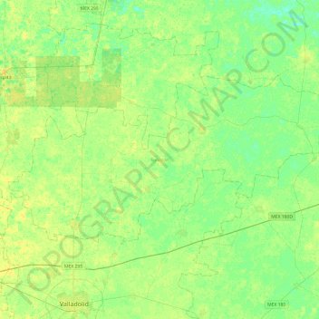
Name: Temozón topographic map, elevation, terrain.
Location: Temozón, Yucatán, 97740, México (20.77427 -88.30132 21.01339 -87.81996)
Average elevation: 21 m
Minimum elevation: 13 m
Maximum elevation: 28 m
Other topographic maps
Click on a map to view its topography, its elevation and its terrain.