
Boonwijk topographic map
Interactive map
Click on the map to display elevation.
About this map
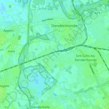
Name: Boonwijk topographic map, elevation, terrain.
Average elevation: 4 m
Minimum elevation: -1 m
Maximum elevation: 9 m
Other topographic maps
Click on a map to view its topography, its elevation and its terrain.
Saint-Gilles-lez-Termonde
Belgique > Flandre orientale > Termonde > Termonde > Saint-Gilles-lez-Termonde
Saint-Gilles-lez-Termonde, Termonde, Flandre orientale, Flandre, 9200, Belgique
Average elevation: 4 m