
Thank you for supporting this site ❤️
Make a donation
Make a donation
Gear up for your next adventure:
As an Amazon Associate, this site earns from qualifying purchases at no extra cost to you.
Rivò topographic map
Click on the map to display elevation.
Thank you for supporting this site ❤️
Make a donation
Make a donation
Gear up for your next adventure:
As an Amazon Associate, this site earns from qualifying purchases at no extra cost to you.
About this map
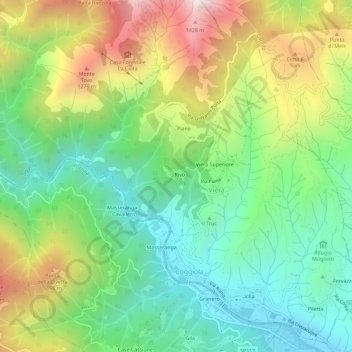
Name: Rivò topographic map, elevation, terrain.
Location: Rivò, Viera, Coggiola, Biella, Piemonte, 13863, Italia (45.67900 8.15406 45.71900 8.19406)
Average elevation: 831 m
Minimum elevation: 432 m
Maximum elevation: 1,515 m
Thank you for supporting this site ❤️
Make a donation
Make a donation
Gear up for your next adventure:
As an Amazon Associate, this site earns from qualifying purchases at no extra cost to you.