
San Fiz de Reimóndez topographic map
Interactive map
Click on the map to display elevation.
About this map
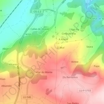
Name: San Fiz de Reimóndez topographic map, elevation, terrain.
Location: San Fiz de Reimóndez, Sarria, Lugo, Galicia, España (42.73825 -7.43983 42.76509 -7.41088)
Average elevation: 566 m
Minimum elevation: 426 m
Maximum elevation: 698 m
Other topographic maps
Click on a map to view its topography, its elevation and its terrain.