Geolocate

Trespando topographic map

Click on the map to display elevation.

About this map

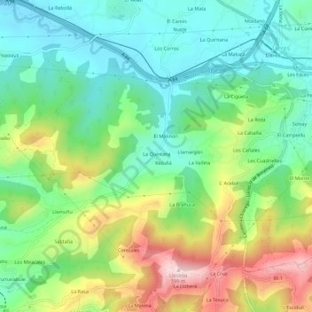
Name: Trespando topographic map, elevation, terrain.

Location: Trespando, Siero, Asturias, 33580, España (43.34684 -5.62319 43.38684 -5.58319)

Average elevation: 341 m

Minimum elevation: 215 m

Maximum elevation: 580 m

Gear up for your next adventure:

🦶Hiking Shoe Insoles - Added support for high arches and long days on feet
🩹Compact First Aid Kit - Pre-packed essentials for common trail injuries
🥾Trail Running Shoes - Lightweight and durable shoes for trail running
🧢Hiking Hat - Sun-protective and breathable hats for long treks
🥾Hiking Gaiters - Protect legs and shoes from mud, snow, and debris

As an Amazon Associate, this site earns from qualifying purchases at no extra cost to you.