Geolocate

Astenet topographic map

Click on the map to display elevation.

About this map

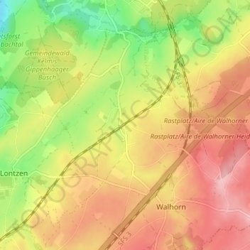
Name: Astenet topographic map, elevation, terrain.

Location: Astenet, Lontzen, Verviers, Liège, Wallonia, 4711, Belgium (50.66819 6.01530 50.70819 6.05530)

Average elevation: 253 m

Minimum elevation: 174 m

Maximum elevation: 317 m

Gear up for your next adventure:

🍽️Titanium Camping Spork - Ultralight and indestructible eating utensil
🧥Insulated Jacket - Keep warm in cold outdoor conditions
🥾Approach Boots - Comfortable boots for hiking and climbing approaches
🕶️Polarized Sunglasses - Protect your eyes with durable polarized lenses
🔦LED Headlamp - Hands-free lighting for early morning starts or late finishes

As an Amazon Associate, this site earns from qualifying purchases at no extra cost to you.