Geolocate

Raccha Cedron topographic map

Click on the map to display elevation.

About this map

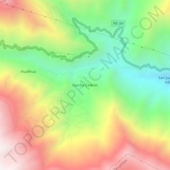
Name: Raccha Cedron topographic map, elevation, terrain.

Location: Raccha Cedron, Quisqui, Huánuco, Perú (-9.92154 -76.45611 -9.88154 -76.41611)

Average elevation: 3,252 m

Minimum elevation: 2,624 m

Maximum elevation: 3,979 m

Gear up for your next adventure:

💡Portable Camping Lamp - Rechargeable lamp for campsite lighting
Camping Tent - Weather-resistant tents suitable for 2 to 6 people
🥫Freeze-Dried Meals - Lightweight, high-calorie nutrition for multi-day treks
🧢Outdoor Cap - Protective cap for sun and rain during hikes
🥾Hiking Boots - Sturdy boots providing ankle support and traction on rugged trails

As an Amazon Associate, this site earns from qualifying purchases at no extra cost to you.