Geolocate

Talavera topographic map

Click on the map to display elevation.

About this map

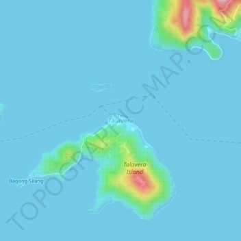
Name: Talavera topographic map, elevation, terrain.

Location: Talavera, Surigao del Norte, Caraga, Philippines (9.73207 125.67589 9.77207 125.71589)

Average elevation: 13 m

Minimum elevation: -2 m

Maximum elevation: 194 m

Gear up for your next adventure:

🥾Hiking Boots - Sturdy boots providing ankle support and traction on rugged trails
🧴Waterproofing Spray - Restore the DWR coating on jackets and tents
🥾Trail Running Boots - Durable shoes designed for trail running
🥾Waterproof Hiking Shoes - Durable shoes for wet and rugged trails
🥾Waterproof Trail Shoes - Shoes designed to handle wet terrain

As an Amazon Associate, this site earns from qualifying purchases at no extra cost to you.